Visiting timetable09:00 AM – 06:00 PM
|Sunday, June 21, 2026Raufarhólshellir, Route 39 (Þrengslin), South Iceland
Back to science
history
Iceland Volcanic Timeline – Why Lava Tubes Exist
Connect the Lava Tunnel to regional eruptions using aerial and satellite imagery.
12/22/2025
13 min read

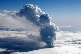
Eruption Context
Snapshots
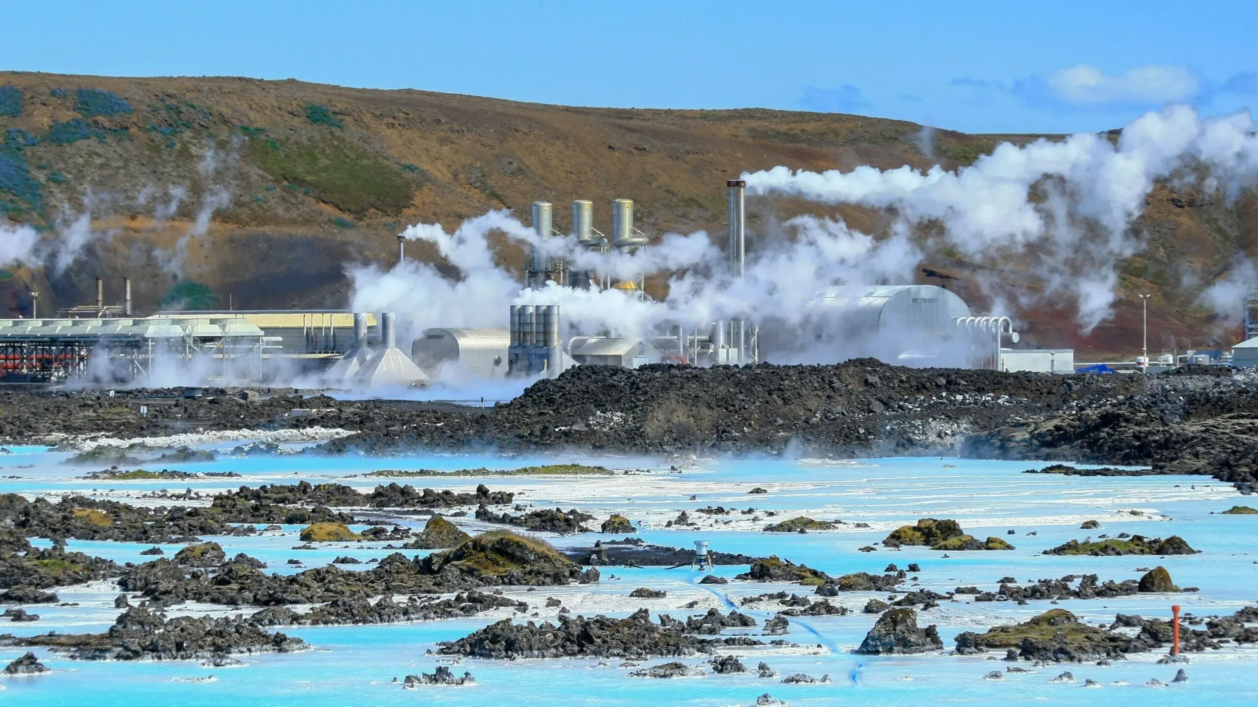
- Historic geothermal development and lava fields
- Aerial maps that show flow paths
Takeaway: Basaltic systems + steady flows → hollow rivers of rock.
Perspective: The tunnel is one chapter in a long volcanic story.
About the Author

Iceland Travel Expert
I put this guide together to make your Lava Tunnel day simple, insightful, and full of practical tips from the road.
Tags
Eruptions
History
Satellite
Aerial
Comments (0)
Leave a Comment
Loading comments...